File:Map zoneFar Tiled.png
From OBEY wiki
Revision as of 09:20, 22 June 2015 by Hexzyle (Talk | contribs) (Hexzyle uploaded a new version of File:Map zoneFar Tiled.png)

Size of this preview: 428 × 599 pixels. Other resolution: 171 × 240 pixels.
Original file (1,600 × 2,240 pixels, file size: 729 KB, MIME type: image/png)
File history
Click on a date/time to view the file as it appeared at that time.
| Date/Time | Thumbnail | Dimensions | User | Comment | |
|---|---|---|---|---|---|
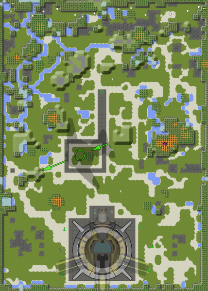
| current | 12:52, 21 July 2015 |  | 1,600 × 2,240 (729 KB) | Hexzyle (Talk | contribs) | v34r0: updates to maps (Power Plant was moved from the far North-East of the map, to ontop of the cliff overhanging the water east of the drop site) |
| 09:20, 22 June 2015 |  | 1,600 × 2,240 (726 KB) | Hexzyle (Talk | contribs) | 33r1, added Power Plants | |
| 04:44, 28 January 2015 |  | 528 × 739 (321 KB) | Hexzyle (Talk | contribs) |
- You cannot overwrite this file.
File usage
The following page links to this file: